Blizzard Conditions Looking Likely in MN Days Before Christmas
UNDATED (WJON News) -- A potentially dangerous week of weather is ahead.
The National Weather Service says multiple hazards are expected this week.

Several inches of fluffy snow will come on Wednesday and Wednesday evening. Travel impacts are likely, but winds will remain light so no blowing snow.
Temperatures will be very cold in the single digits above and below zero.
Winds will begin increasing late Wednesday night and Thursday as light snow continues. By Thursday, wind gusts of 40-50 mph appear likely.
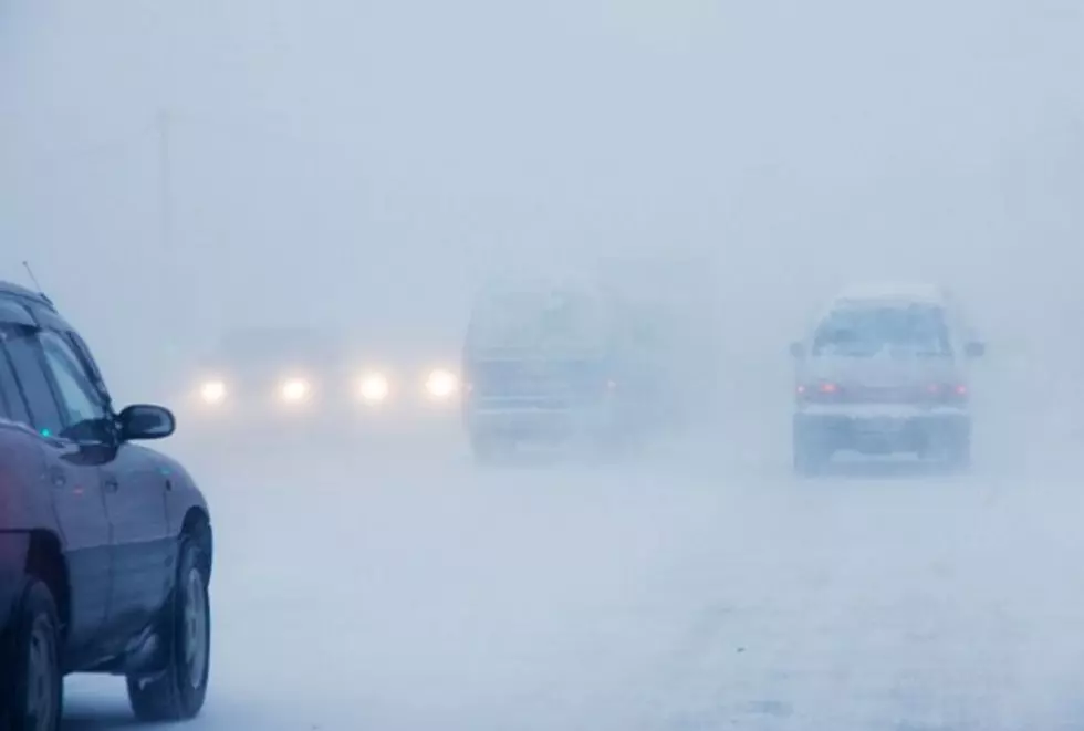
Blizzard conditions are highly likely, even in areas that typically aren't favored for whiteout conditions, including the metro and western Wisconsin.
Wind chills will dive to dangerous levels (30 to 45 below zero) as the wind increases Thursday, which will threaten your life if you get stranded while traveling.

The blizzard conditions (light snow, strong winds, blowing snow) could last into Friday night, impacting travel potentially into Saturday.
With snow still stuck on trees, the strong winds may cause power outages while temperatures are below zero.
LOOK: 15 Unconventional Christmas Albums From the Past 50 Years
More From 96.7 The River