UPDATE: Severe Weather Possible Tonight Across Central Minnesota
The National Weather Service says there's a risk of severe weather across central Minnesota tonight.
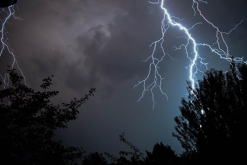
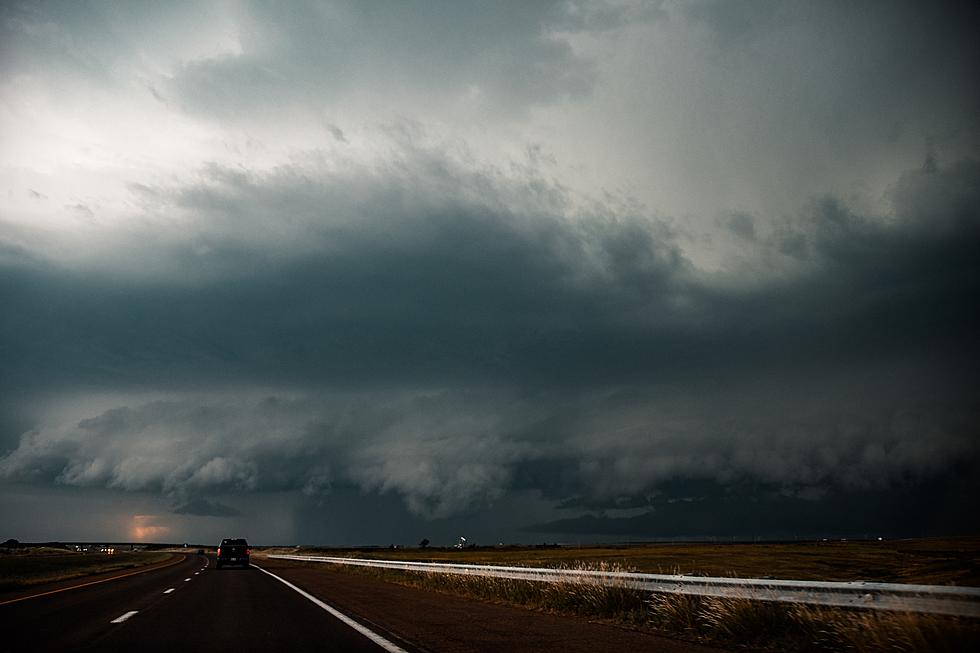
Strong storms could develop along and ahead a cold front that will move across our area. A few of the stronger storms could produce damaging wind, large hail, and even a few tornadoes are possible.
The most likely time of arrival for the Saint Cloud area looks like sometime after midnight.

Tonight's St. Cloud Forecast: A chance of showers and thunderstorms, then showers and possibly a thunderstorm after 1am. Low around 56. South southwest wind 5 to 15 mph becoming north northwest in the evening. Winds could gust as high as 30 mph. Chance of precipitation is 80%. New rainfall amounts between a quarter and half of an inch possible.
From the National Weather Service this Afternoon: Severe weather is possible this later evening into the early morning hours Friday. Large hail and damaging winds are the main hazards. Remain weather aware and be sure to have multiple methods for receiving watches and warnings, especially if outdoors and with the timing being the nighttime hours.
Be weather aware, and have a way to receive severe weather warnings.
See Every WE Fest Headliner SInce 2000
Take a Look Around the Shoppes of Little Falls
More From 96.7 The River