Probably Won’t Need an Ark, But Lots of Rain On the Way for St. Cloud
After a handful of warm, sunny days, Central Minnesota is scheduled for a wet week ahead, with several inches of rainfall possible between now and early next week.
The National Weather Service says a stalled front over our area for most of the rest of this week could deliver two to three inches of rain across the Saint Cloud area, which truth be told, is sorely needed.
Dry conditions so far this spring have resulted in high fire danger, and several wildfires. Those conditions will not improve until we get a green-up in the area, which has prompted the Minnesota Department of Natural Resources to impose burning restrictions across the region.

Rain will return to the area today, beginning a long and steady soaking rainfall which will linger through the rest of the week. 2-3 inches of rainfall are expected for much of the area, sorely needed as much of the area is also in abnormally dry conditions.
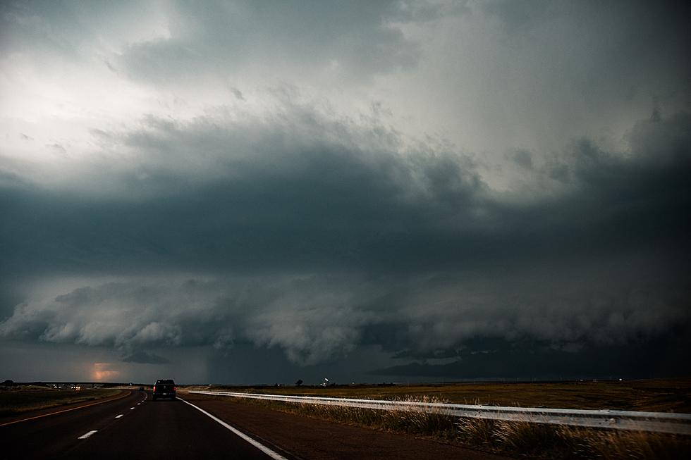
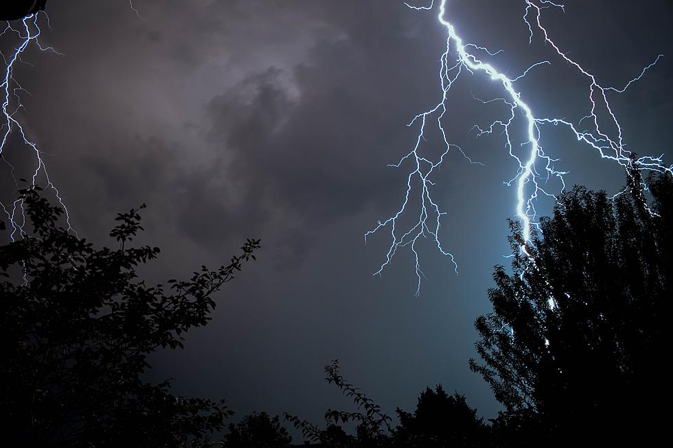
Following Monday night's multiple sever thunderstorm warnings across Central Minnesota, most of which were for large hail, the remainder of the week is calling for simple showers and garden variety (non-severe) thunderstorms.
The stalled front will result in a steep gradient of temperatures across Minnesota for the next few days.
If you've got outdoor activities you're looking forward to, or yard work that's begging to get done, the good news is that things look to dry out significantly by this weekend.
Showers are in the forecast through Friday night, but Saturday's outlook in Saint Cloud says we can expect partly sunny skies with highs in the mid-fifties. It looks the same for Sunday with a high near 60.
See the Must-Drive Roads in Every State
More From 96.7 The River