Severe Weather Risk Again Today
The National Weather Service says there's a risk of severe weather across parts of Central Minnesota today.
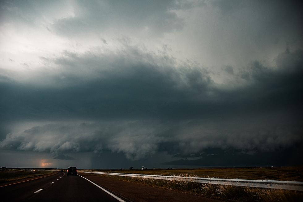
Thunderstorm chances increase this afternoon and into this evening. Heavy rainfall and flash flooding will be possible with any storms today. Damaging winds, large hail, and a tornado will all be possible later today and tonight.
The greatest threat of severe weather will be from Western and Central Minnesota, and into Western Wisconsin.

While there's a chance of morning showers and thunderstorms, The storms associated with the severe weather threat are not expected to reach the Saint Cloud area until the afternoon. Thunderstorms are also possible again Thursday night.
The hot & humid weather looks to hang around for the next two days, before things dial back to the seventies Friday through Sunday. Even cooler highs are expected in the sixties next week.

High Temperatures for Wednesday
- St. Cloud: 90°
- Foley: 90°
- Little Falls: 88°
- Princeton: 89°
High Temperatures for Thursday
- St. Cloud: 82°
- Foley: 81°
- Little Falls: 80°
- Princeton: 81°
High Temperatures for Friday
- St. Cloud: 77°
- Foley: 77°
- Little Falls: 76°
- Princeton: 77°
Be weather aware, and have a way to receive watches and warnings. Tune to 98.1 Minnesota's New Country for weather alerts.
From the National Weather Service this morning: Scattered thunderstorms are expected to develop along a weak boundary across central Minnesota late this afternoon through this evening. Any storm that does develop will have the potential for large hail and damaging wind gusts, with the best chance north of a line from Montevideo MN to the Twin Cities to Bloomer WI.
Foods That Could Kill Your Dog or Make Them Very Sick
More From 96.7 The River