Severe Weather Risk Continues Tonight
The National Weather Service says the risk of severe weather across parts of Central Minnesota continues tonight.
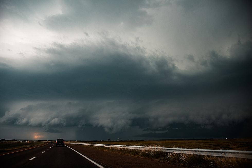
Thunderstorm chances increase this evening into the overnight. Heavy rainfall and flash flooding will be possible with any storms tonight. Damaging winds, large hail, and a tornado will all be possible as well.
While there is a marginal risk of severe weather across Central Minnesota, the greatest threat will be across Southern Minnesota, into Southern Wisconsin.
As it looks now, the storms associated with the severe weather threat are not expected to reach the Saint Cloud area until after midnight tonight.
Following tonight's storms, a major cool down will make things feel a whole lot like fall beginning this weekend.

High Temperatures for Saturday
- St. Cloud: 74°
- Foley: 73°
- Little Falls: 72°
- Princeton: 73°
High Temperatures for Sunday
- St. Cloud: 76°
- Foley: 76°
- Little Falls: 75°
- Princeton: 76°
High Temperatures for Monday
- St. Cloud: 66°
- Foley: 66°
- Little Falls: 65°
- Princeton: 66°
High Temperatures for Tuesday
- St. Cloud: 70°
- Foley: 70°
- Little Falls: 70°
- Princeton: 70°
Be weather aware, and have a way to receive watches and warnings. Tune to 98.1 Minnesota's New Country for weather alerts.
From the National Weather Service this morning: Severe thunderstorms are possible this evening through tonight, with the best chances along and south of a line from Montevideo MN to the southern Twin Cities metro to Eau Claire WI. The primary threats will be large hail and damaging winds. In addition, a few storms over southern MN into western WI may produce heavy rain which could lead to isolated flooding issues.
Pete Hanson is on 98.1 Minnesota's New Country weekday mornings from 5:30 to 10:00.
Foods That Could Kill Your Dog or Make Them Very Sick
More From 96.7 The River