Severe Storms Are Possible in Minnesota Sunday NightSevere Storms Are Possible in Minnesota Sunday NightScattered strong to severe storms should develop this evening across the Dakotas and track into western Minnesota tonight.Lee VossLee Voss
Severe Thunderstorms Race Across Much of Minnesota SaturdaySevere Thunderstorms Race Across Much of Minnesota SaturdayA line of severe thunderstorms raced across parts of Minnesota Saturday night into early Sunday morning.Lee VossLee Voss
Storms Produce Tornado and Severe Thunderstorm Warnings WednesdayStorms Produce Tornado and Severe Thunderstorm Warnings WednesdayA line of severe storms rumbled through central Minnesota Wednesday night.Lee VossLee Voss
Tornado Sirens to Sound Thursday for Severe Wx Awareness WeekTornado Sirens to Sound Thursday for Severe Wx Awareness WeekIt's Severe Weather Awareness Week in Minnesota and Thursday is Tornado Drill Day.Lee VossLee Voss
St. Cloud In Winter Storm Warning Starting SundaySt. Cloud In Winter Storm Warning Starting SundaySt. Cloud in winter storm warning from Sunday until Tuesday morningPaul HabstrittPaul Habstritt
Portions of Minnesota Could See Severe Storms on FridayPortions of Minnesota Could See Severe Storms on FridaySevere thunderstorms are possible later Thursday evening into Friday morning.Lee VossLee Voss
Storm Chances Arrive Wednesday AfternoonStorm Chances Arrive Wednesday AfternoonScattered thunderstorms will develop Wednesday afternoon and early evening as a cold front sags through.Lee VossLee Voss
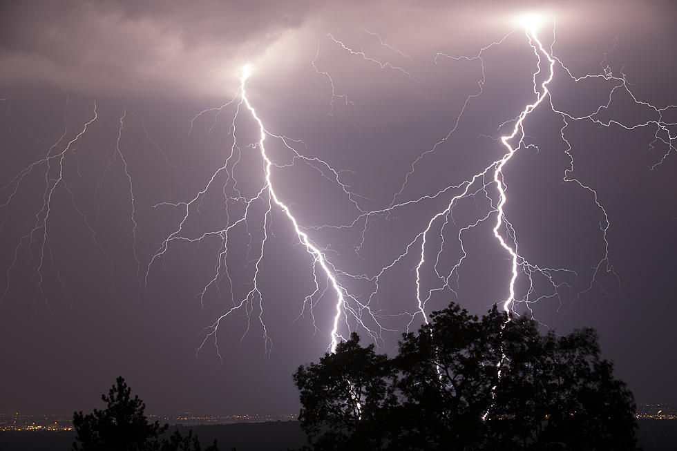
Severe Storms Bring Wind, Rain and Lightning to Central MinnesotaSevere Storms Bring Wind, Rain and Lightning to Central MinnesotaA line of severe thunderstorms fired up across central Minnesota during the evening commute Wednesday.Lee VossLee Voss
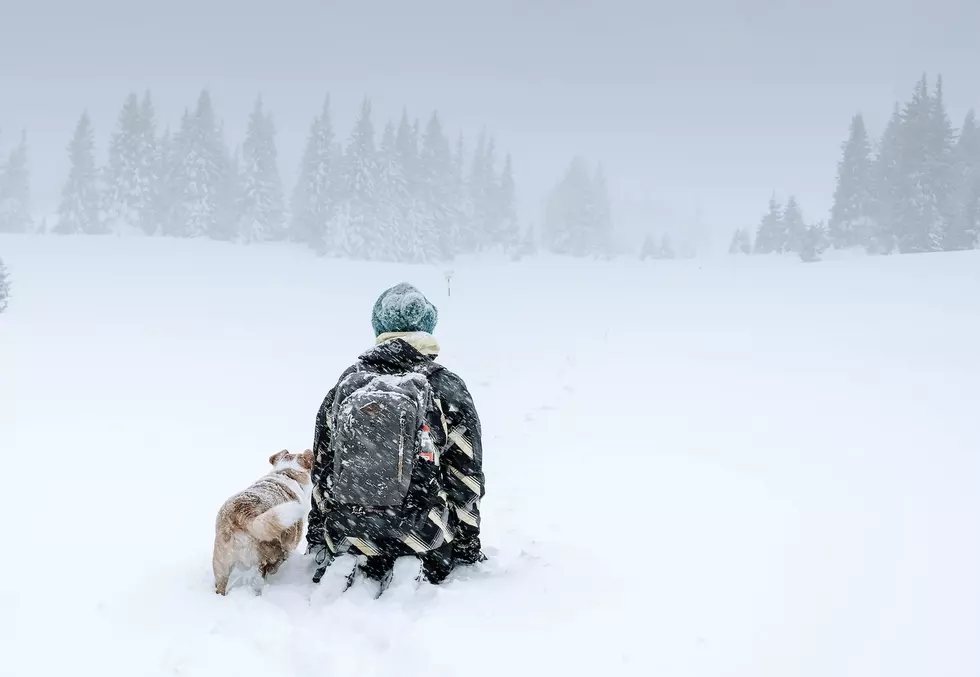
Blizzard Warning In Effect in Central Minnesota Thursday Through SaturdayBlizzard Warning In Effect in Central Minnesota Thursday Through SaturdayBe safe, be cautious, and stay home if you can. It's looking like more of a "white-out" Christmas than just the white one we were dreaming of. AbbeyAbbey
Wind, Winter Weather Advisories for Much of MinnesotaWind, Winter Weather Advisories for Much of MinnesotaYou might have to go outside and pick up your Christmas decoration on Saturday. The National Weather Service has issued Wind and Winter Weather Advisories for a large part of Minnesota for Friday.Jim MauriceJim Maurice