Strong Thunderstorms Possible Thursday and Saturday
UNDATED -- There is a 50% chance of storms Thursday and Thursday night as a weak cold front moves across Minnesota and Wisconsin.

Get our free mobile app
Scattered thunderstorms are expected to develop Thursday afternoon with gusty winds and heavy downpours possible. A few isolated strong to severe storms are possible Thursday afternoon across central and southern Minnesota. These would be capable of producing damaging winds of up to 60 miles per hour and hail.
A stronger system will bring a more widespread chance of showers and thunderstorms this weekend. The National Weather Service is predicting a 70% chance of storms on Saturday.
TIPS: Here's how you can prepare for power outages
KEEP READING: What to do after a tornado strikes
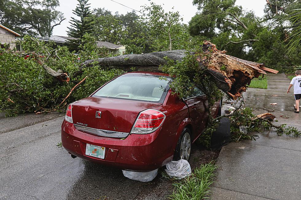
LOOK: The most expensive weather and climate disasters in recent decades
Stacker ranked the most expensive climate disasters by the billions since 1980 by the total cost of all damages, adjusted for inflation, based on 2021 data from the National Oceanic and Atmospheric Administration (NOAA). The list starts with Hurricane Sally, which caused $7.3 billion in damages in 2020, and ends with a devastating 2005 hurricane that caused $170 billion in damage and killed at least 1,833 people. Keep reading to discover the 50 of the most expensive climate disasters in recent decades in the U.S.
More From 96.7 The River


![Storm Photos from Around Central Minnesota [Thursday, May 12th]](http://townsquare.media/site/65/files/2022/05/attachment-Untitled-design-2022-05-13T053645.3901.jpg?w=980&q=75)

![Funnel Cloud Caught on Video Near Gilman Monday [WATCH]](http://townsquare.media/site/65/files/2022/05/attachment-Untitled-design-2022-05-10T055242.323.jpg?w=980&q=75)