Winter Storm Warning Wednesday & Wednesday Night
The National Weather Service has issued a Winter Storm Warning for portions of central, western, and northern Minnesota for Wednesday into Wednesday night. Among counties included in the watch are Stearns, Benton, Morrison, Mille Lacs, and Kandiyohi.
The Winter Storm Warning is in effect from 6 AM Wednesday morning through midnight Wednesday night.
A Blizzard Warning has been issued for extreme western Minnesota, west into the Dakotas. A Winter Storm Watch is in effect to the south and east of the St. Cloud area including the Twin Cities metro.
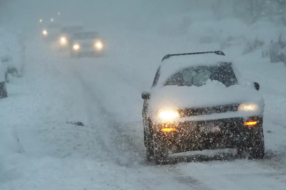
Strong northwest winds of 35 to 45 mph, with gusts over 50 mph are expected, creating the possibility of blizzard conditions Wednesday afternoon and evening. Temperatures will start out around 30 degrees, and fall throughout the day, going below zero overnight.
2 to 5 inches of snow is expected in the Winter Storm Warning area.


Bitter Cold: When we wake up Thursday morning, temps will be in the single digits below zero, with wind chills as low as -30. Highs Thursday will not climb out of the single digits. The low Friday morning will be near -10.
Plan on slippery road conditions. Areas of blowing snow could significantly reduce visibility. The hazardous conditions could impact the morning or evening commute. Gusty winds could bring down tree branches. The dangerously cold wind chills as low as 30 below zero could cause frostbite on exposed skin in as little as 10 minutes.
Please continue to check the forecast for updates, especially if you have travel plans Wednesday or Wednesday night.
6 Vintage St. Cloud Items for Sale on Etsy
More From 96.7 The River