UPDATE: Winter Storm Watch Saturday into Monday
The National Weather Service has issued a Winter Storm Watch in effect from Friday night through Monday morning for portions of Central Minnesota, including Benton, Mille Lacs, Morrison, and Stearns counties.
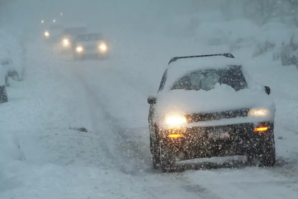
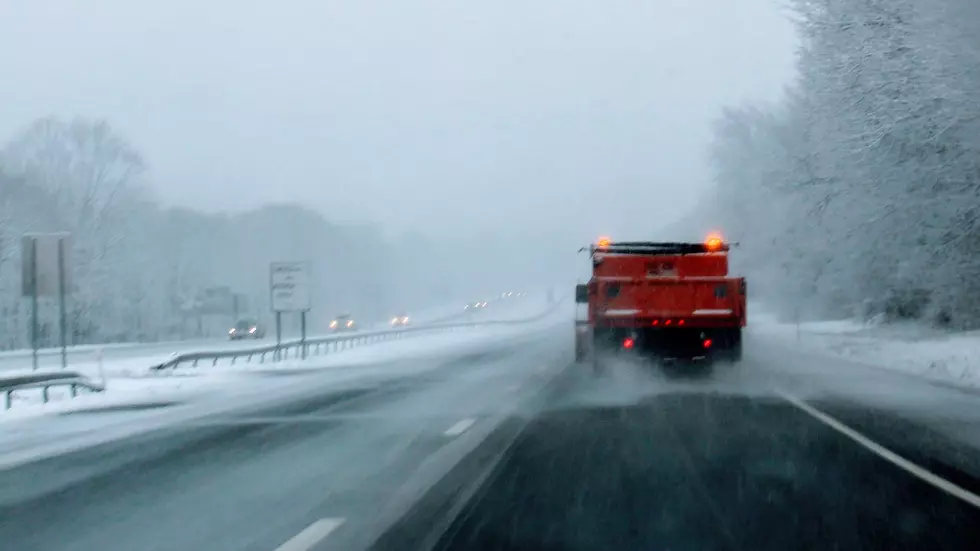
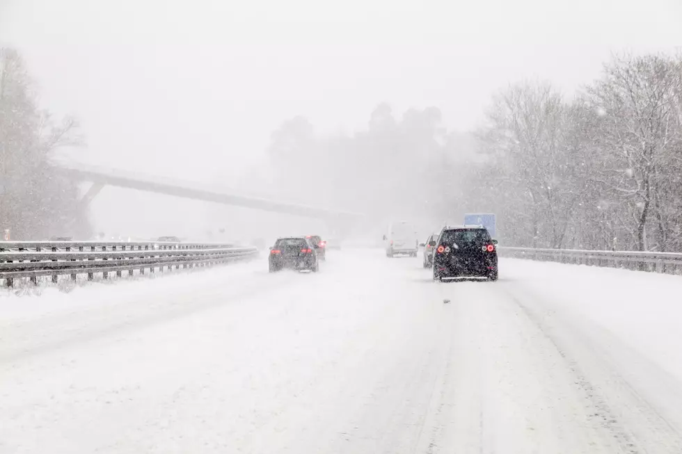
Snow accumulations of 4-6 or more inches and ice accumulations up to a tenth of an inch are possible in in the St, Cloud area -- with higher amounts to the west. Travel could be very difficult.


Please keep in mind these snow and ice amounts will change over the next couple of days with each forecast update. Travel is the primary impact, but there could be a threat to power lines in areas that see higher ice amounts.
From the National Weather Service this morning: A Winter Storm Watch has been expanded slightly eastward across west central, and central Minnesota due to the combination of snow and ice accumulation. The better chance of all snow occurs in far west central Minnesota where 6 inches or more will be possible.

NEXT: What's the Difference Between Winter Storm Warnings, Watches, and Advisories?: The National Weather Service issues various alerts for hazardous winter weather events, to provide us with ample information.
Pete Hanson is on 98.1 Minnesota's New Country weekday mornings from 5:30 to 10:00.
More From 96.7 The River