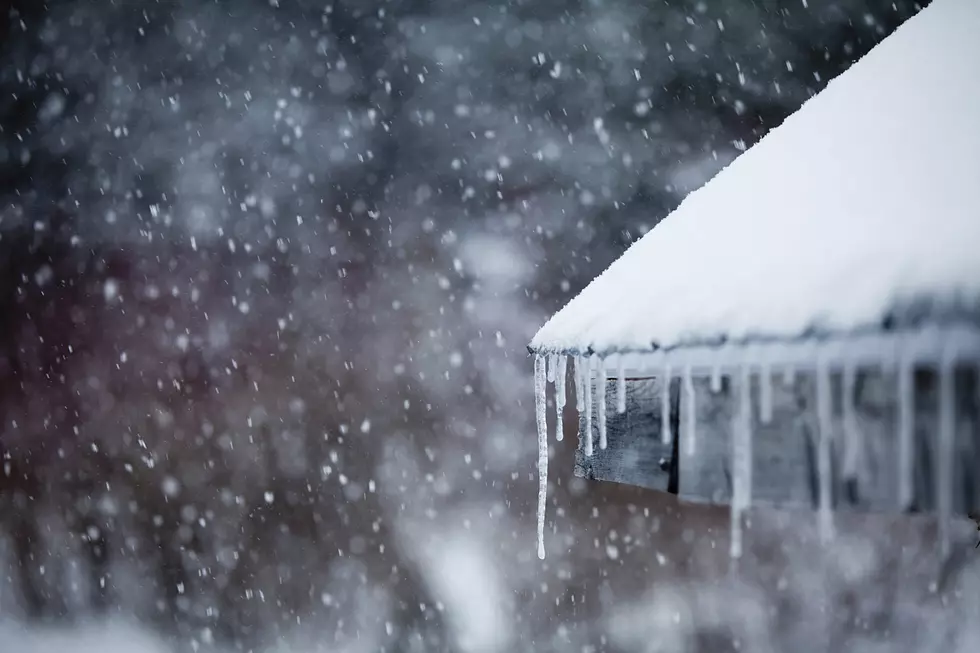
Winter Storm Watch for Wednesday Night into Friday
The National Weather Service has issued a Winter Storm Watch for a large portion of central Minnesota in effect from 7 PM Wednesday evening through 1 PM Friday afternoon.
The Winter Storm Watch includes Stearns, Benton, Sherburne, Kandiyohi, Meeker, Mille Lacs, Morrison, Pope, and Wright Counties (+more) -- as well as the entire Twin Cities metro.
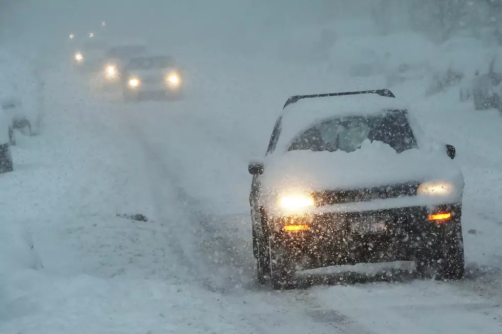
Snowfall rates of 1 to 2 inches per hour will be possible at times, with total accumulations ranging from 7 to 15 inches. Winds will likely gust to 40 to 50 mph on
Thursday. This will lead to areas of blowing and drifting snow. Blizzard conditions will be possible.
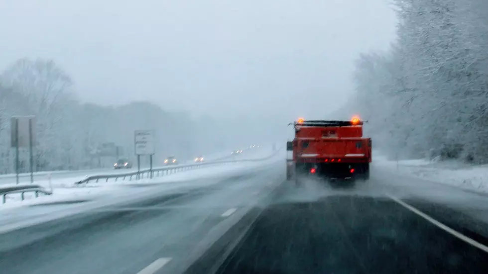
A Winter Storm Watch means there is potential for significant snow, sleet or ice accumulations that may impact travel. Continue to monitor the latest forecasts.
From the National Weather Service this evening: A powerful storm will bring a combination of rain, a wintry mix, and heavy snow to southern MN, central MN, and west central WI. The Winter Storm Watch has been expanded eastward to include much of eastern MN and west-central WI.
More From 96.7 The River