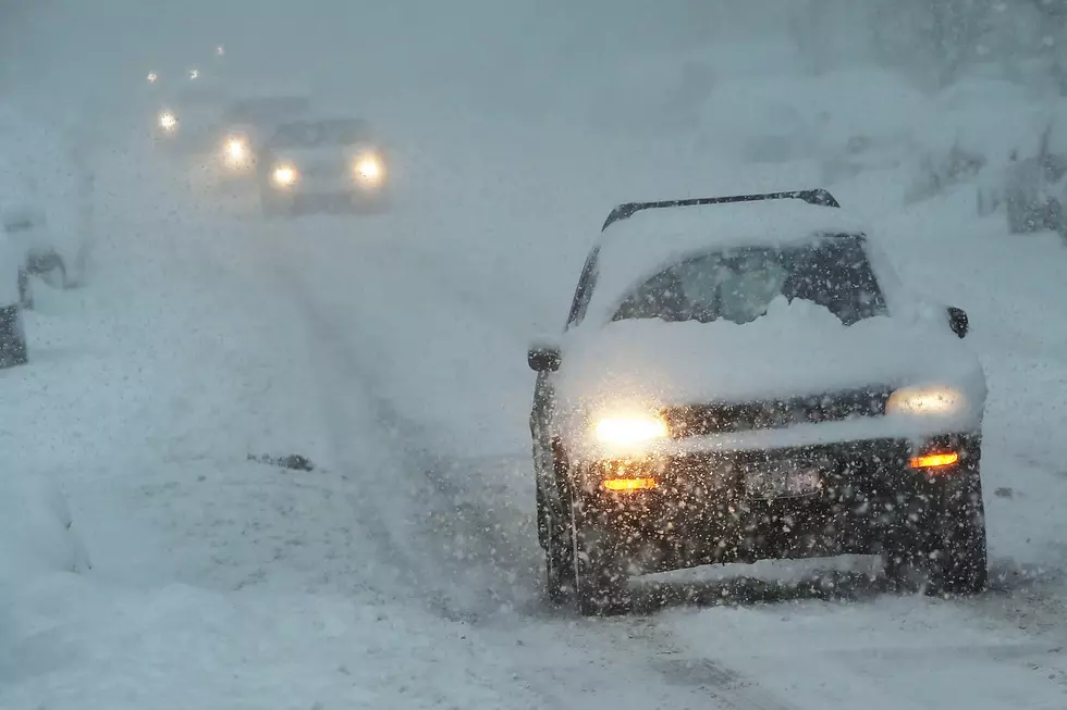
Winter Storm Watch Issued for Central & Western Minnesota
The National Weather Service has issued a Winter Storm Watch for portions of Central Minnesota in effect from 6 PM Wednesday for heavy snow.
Snow will begin advancing into Western Minnesota Wednesday afternoon with intensity increasing by evening. Snow, heavy at times, will continue through Thursday before intensity tapers off Thursday night. Total snow accumulations of 8 to 13 inches are possible across much of western and portions of Central Minnesota.
A Winter Storm Watch means there is potential for significant snow, sleet or ice accumulations that may impact travel. Continue to monitor the latest forecasts.
From the National Weather Service this morning: Confidence is high there will be a large swath of 8 to 13 inches across northern, central, and western Minnesota through early Friday. There will also be a sharp accumulation gradient from southwest to east central MN and northwest WI where the snow will turn to rain Wednesday night. 2 to 3 inches are possible east of that gradient before the transition to rain occurs.
More From 96.7 The River